HR3D
High-Resolution 3D Marine Seismic Imaging
Led by Dr. Tip Meckel, Research Professor; tip.meckel@beg.utexas.edu
HR3D technology allows for unprecedented three-dimensional (3D) resolution imaging of the subsurface using a high frequency acoustic source, high sample rate, and closely spaced short-offset streamers, resulting in small data bin size. Depending on source characteristics, typically the upper meters to hundreds of meters of stratigraphy can be assessed.
The HR3D system can be deployed to characterize offshore sand and gravel resources as well as detrital nearshore mineral accumulations. It’s use in deeper water exploration for manganese nodules and other mineral resources is an area of evolving research.
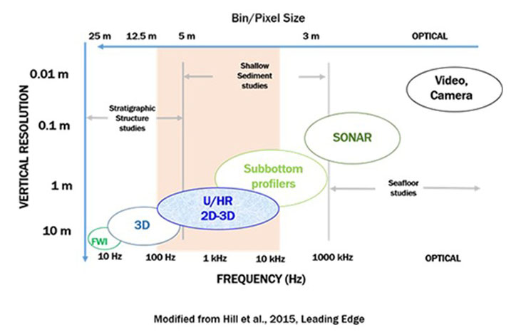
HR3D fills a unique niche in offshore imaging. The frequency recorded (150 Hz) optimizes the trade-off between low resolution, but deep subsurface imaging provided by 3D or subbottom profilers and higher resolution imaging of targets close to the source like SONAR or video. HR3D—near the middle of the frequency range—is best for shallow sediment imaging, which is ideal for monitoring the overburden in CCS projects.
Lower resolution 3D seismic is often cheaper and easy to deploy over a wide area during initial subsurface characterization (especially for deep targets), but once a suitable area is identified, the higher-resolution HR3D imaging can be deployed above the reservoir where refinement is needed.
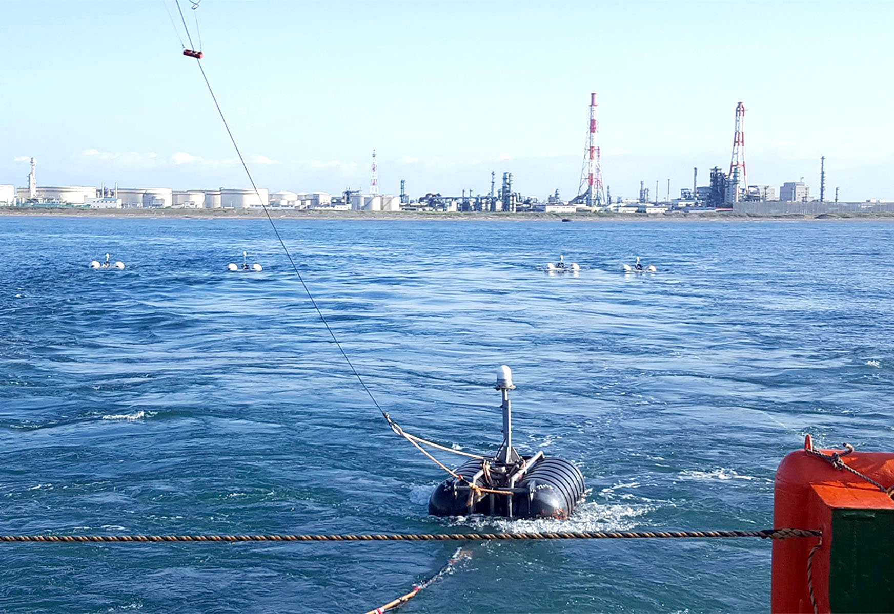
For HR3D data to be collected, short, multi-channel solid-core streamers are towed behind a vessel at approximately three meters below the ocean surface. The high-frequency source signals (compressed air source) are triggered every five seconds (or approximately 10-15 meters separation) using real-time GPS locations, each shot and acoustic recording is then combined to create a three-dimensional image of the subsurface stratigraphy.
Interested in a collaborative project? Email: